Wed, 18 Apr 2018 08:04:10 GMT
News index
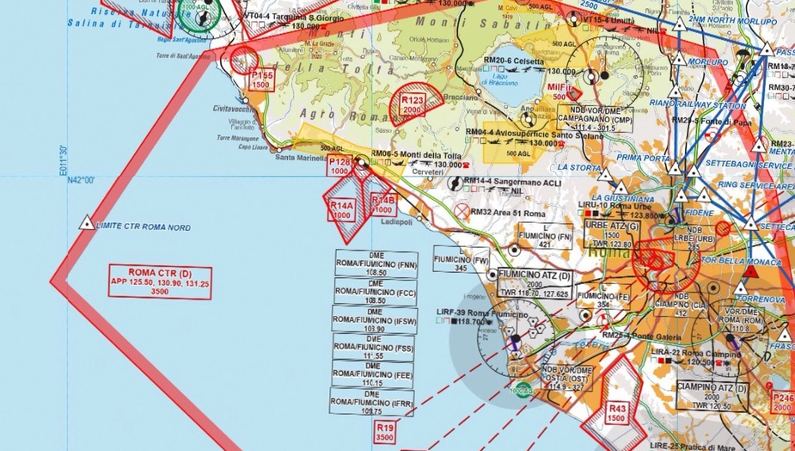
The new VFR 2018 aeronautical cartography has been released

Avioportolano aeronautical cartography is published annually (usually within the month of April).
It is characterized, and is appreciated in Italy and in Europe, for the quality of information and for the excellent graphics that optimize its readability without penalizing the underlying geographical information. It is the only national cartography that shows the entire network of airports and private Italian tracks.
MyWakes supports aviation cartography for quite some time now: this integration allows its users to view maps directly on the GPS tracking platform both in real time radar and in flight display.
For the first time in 2015 the new South East Europe maps have been published covering Slovenia, Croatia and Bosnia Herzegovina, while from 2016 in the LI-6 card (Sicily) Malta is also included.
The new 2018 products, which are added to the AVIOPORTOLANO Aeronautical Chart series for VFR flight, include three packages:
- the Austria package includes the new AUSTRIA + AVIOPORTOLANO AUSTRIA AIRCRAFT in a single product
- the Slovenia Croatia package includes the new SLOVENIA AERONAUTIC CARD - CROATIA NORTH SE1 + AVIOPORTOLANO SLOVENIA - NORTHERN CROATIA
- the Bosnia Bosnia package includes the new BOSNIA AND HERZEGOVINA AIRCRAFT CARD - CROATIA SOUTH SE2 + AVIOPORTOLANO BOSNIA AND HERZEGOVINA - CROATIA SOUTH
To take full advantage of the integration you can buy the cards from the Avioportolano shop and then enter the data in your MyWakes user profile.